Predictions of the current and future distribution of organisms in the context of global warming use only climatic data provided by worldwide meteorological services. These data are, however, only one half of the truth. The majority of terrestrial plant and animal species of the Holarctic live in soil, on the soil surface or slightly above it and climate within these strata is strongly influenced by soil temperatures. Vegetation structure, slope, and soil properties of a particular habitat may cause over 40% of the total seasonal between-habitat variance of top soil temperatures within a larger geographical region:
CalibSoil allows you to determine
- the habitat-dependent and macroclimate-dependent components of soil temperature of your study sites, independent of the weather fluctuations which usually occur within a season or between years,
- maximum calibrated soil temperature which is an indication of the mean seasonal heat stress, and
- mean calibrated soil temperature which is the deciding environmental variable influencing mean metabolic rate.
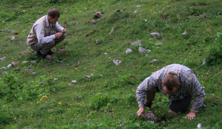
The procedure is simple enough to be introduced as a standard method in terrestrial ecology. In addition to the CalibSoilsoftware you need only:
(a) adequate thermometers recording maximum temperatures,
(b) data from one to three of the nearest meteorological stations – these data are the daily air temperature and sunshine duration on the investigation day and on the 14 days prior this date and the monthly mean air temperature and monthly sum of sunshine hours from May to August of the 10 years prior the year of investigation,
(c) a sufficiently sunny day between 1 May and 31 August.
For further information, read the user manual of CalibSoil and the more detailed background information on the derviation of the method and the algorithms used. Both files are also included in the software package.


